|
From:TheBahamasWeekly.com Bahamas Information Services Updates
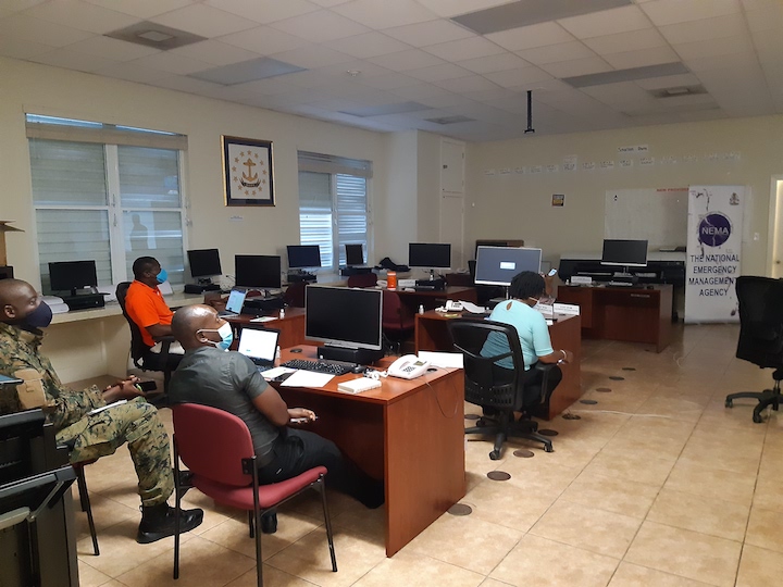
Nassau, The Bahamas –The National Emergency Operations Centre (NEOC) was activated at 6pm Thursday, July 30 to closely monitor the track of Tropical Storm Isaias as it threatens The Bahamas. Captain Stephen Russell, Director of the National Emergency Management Agency (NEMA) activated Level II of the Standard Operating Procedures because the situation escalated into a real threat such as storm warnings and flash flood warnings. Representatives of NEMA’s Emergency Support Function (ESF) groups reported to the NEOC at NEMA on Gladstone Road to monitor the system and to ensure that the public receives timely and accurate information pertaining its path. The NEOC has been rearranged to allow for social distancing and other safety measures in keeping with protocols pertaining to the COVID-19 pandemic. On Wednesday, July 29, 2020 NEMA held a National Press Conference during which the public was updated on the track of the storm and the state of NEMA’s readiness. And on Thursday, July 30, at another National Press Conference, Prime Minister the Most Hon Dr Hubert Minnis made an appeal to the public to be prepared for the impending storm, while practicing safety protocols regarding the COVID-19 pandemic. Capt Russell made contact with Family Island administrators via telephone, who ensured that their respective islands were prepared for the hurricane. At the time of partial activation, the Bahamas Department of Meteorology issued an advisory that Isaias was predicted to become a hurricane Friday, July 31. A Hurricane warning was posted for the Northwest and Central Bahamas. This includes Exuma, Cat Island, Long Island, San Salvador, Rum Cay, Andros, New Providence, Eleuthera, Bimini,The Berry Islands, Grand Bahama and Abaco. A Hurricane Warning means that hurricane conditions could be experienced somewhere in the warning area within 36 hours. A tropical storm with winds of 39-73 mph becomes a hurricane when the winds near the center reach 74 mph. The storm surge is generally 4-5 feet above normal. Damage is mostly to trees and shrubbery, with some building damage. Average wind speed for a category 1 is 74-95mph. A Tropical Storm Warning remains in effect for the Southeast Bahamas and the Turks and Caicos Islands. This includes Acklins, Crooked Island, Ragged Island, Inagua, Mayaguana and Samana Cay. A tropical storm warning means that tropical storm conditions could be experienced somewhere in the Warning area within 36 hours.
|