|

|
|
|
Last Updated: Feb 1, 2021 - 4:19:53 PM |
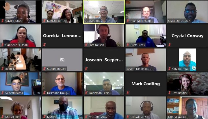
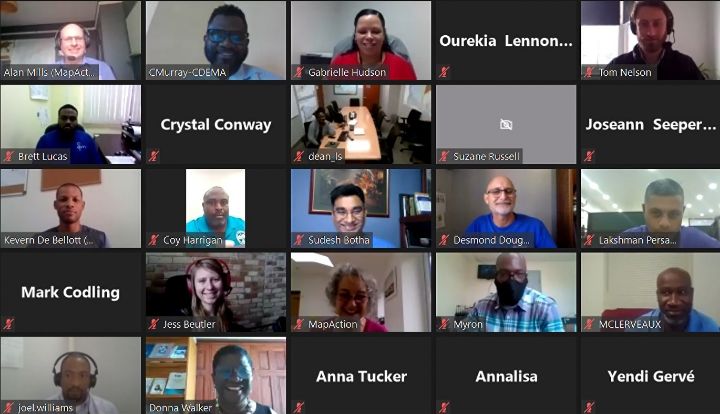
Bridgetown, Barbados – The Caribbean Disaster Emergency Management Agency (CDEMA) successfully hosted an online training programme and simulation exercise in geographical information systems (GIS) for disaster risk management (DRM) in the Caribbean region. The training programme was delivered between January 11th and 28th 2021, with the final two days dedicated to a simulation exercise where the participants’ learning was tested in a controlled scenario, under time constrained conditions.
Twenty-seven (27) participants from across 17 CDEMA Participating States were introduced to the geospatial platform of the Caribbean Risk Information System (CRIS) called the GeoCRIS. The course focused on the geospatial datasets available within the GeoCRIS and how to use these geospatial datasets in the creation of mapping products to support disaster response activities in the Caribbean.
Speaking during the opening session of the simulation exercise, Elizabeth Riley, Executive Director (ag), at the CDEMA Coordinating Unit said, “I am heartened that 17 of 19 (approximately 90%) of CDEMA Participating States are represented at today’s training. I want to congratulate you the participants who have completed the training programme”.
“The CDEMA Coordinating Unit recognizes that digital transformation is essential to positioning our CDEMA system for the future. It is within this context that CDEMA developed over a period of time and launched the Caribbean Risk Information System (CRIS) in November 2020”, remarked Riley.
The purpose of the course offering was to introduce the CDEMA Participating States to the geospatial platform – the GeoCRIS – of the CRIS. The CRIS is a multi-faceted virtual platform that hosts risk management data and information accessible to stakeholders to facilitate analysis, research, and greater awareness of disaster risk management (DRM) and climate change adaptation (CCA) in the region. The CRIS also contributes to the region’s sustainable development efforts by enhancing and strengthening disaster risk and climate change information sharing to drive evidence-based decision-making processes at all levels.
“The CRIS will play a vital role in building disaster resilience across the Caribbean region and we are delighted to have been able to support its creation and rollout,” said Alan Mills, Preparedness Coordinator at MapAction. “Having partnered alongside CDEMA following several devastating hurricanes in the past five years, and with a lot of experience of building similar systems, we were well placed to help define the needs for data and tools to best support the rapid-response mechanisms within CDEMA.”
The main outcome of the simulation exercise was for participants to apply the information management tools within and around the GeoCRIS to tackle an emergency response by providing a simulation of a potential real-world scenario where remote assistance may be required for Information Management (IM) support to CDEMA or a member state following a disaster. The simulation also tested the learning on the GeoCRIS, the OpenStreetMap (OSM) tools and remote mapping (QGIS) in a scenario.
"The simulation exercise was instrumental in highlighting the strengths of shared response coordination for effected management of a disaster event. It shows how time can be saved by outsourcing some critical actions to external partners. Typically most of the geospatial tasks are assigned to one or two individuals, which significantly reduces the number of products that can be produced in a timely manner", commented one participant.
The development of the GeoCRIS was facilitated in collaboration with the World Bank, MapAction and Humanitarian OpenStreetMap, with financial support from the European Union (EU) in the framework of the ACP-EU Natural Disaster Risk Reduction Program, managed by the Global Facility for Disaster Reduction and Recovery. Additional resources are also provided by the Canadian Government through Global Affairs Canada to further the development and awareness of the CRIS.
Visit cdema.org/cris/ for more details.

© Copyright 2021 by thebahamasweekly.com
Top of Page
|
|
|
|