|
From:TheBahamasWeekly.com Local
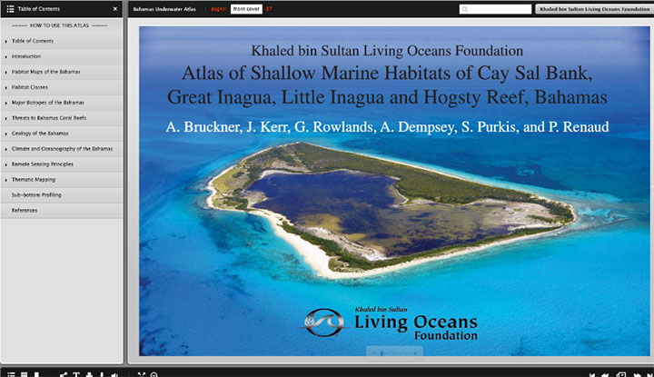
The Khaled bin Sultan Living Oceans Foundation (KSLOF) has launched an interactive version of the Bahamas Atlas and hopes to get it into the hands of as many people as possible. It is a great resource for anyone wanting to know more about the coral reefs, mangrove forests, and seagrass beds of The Bahamas, but will be particularly useful for organizations and decision makers looking to safeguard these vital natural resources. The Atlas is a digital flip book that contains detailed reports of the shallow water marine habitats of Cay Sal Bank, Great Inagua, Little Inagua, and Hogsty Reef along with direct links to fine-scale maps of seafloor habitats in these regions. In the Bahamas Web Map, viewers can overlay these habitat maps with maps of diversity, connectivity, and threats to coral reefs from heat and hurricanes. For more information on the Atlas and the digital flip book, read our latest story here: https://www.livingoceansfoundation.org/new-way-see-bahamas-underwater/
|